Our tutorials and walkthrough videos show how easy and time-saving IT documentation can be with Pathfinder. Every IT documentation project starts with the infrastructure. That’s why today we’ll look at the basics and show you how quickly you can set up the infrastructure in Pathfinder.
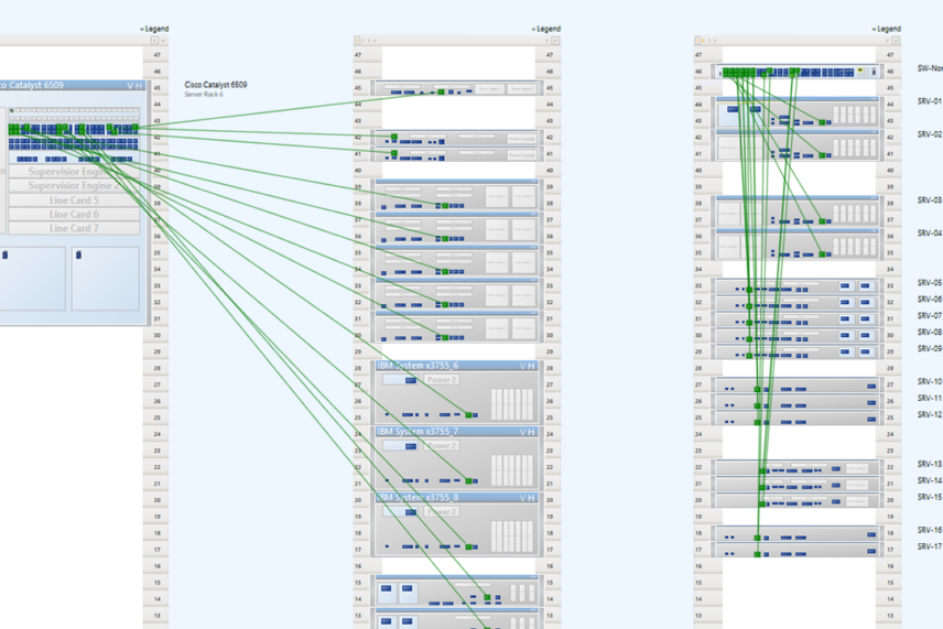
Buildings, floors and rooms are created with just a few clicks. Even without any drawings or designs available for the infrastructure, Pathfinder helps you visualize the entire infrastructure completely.
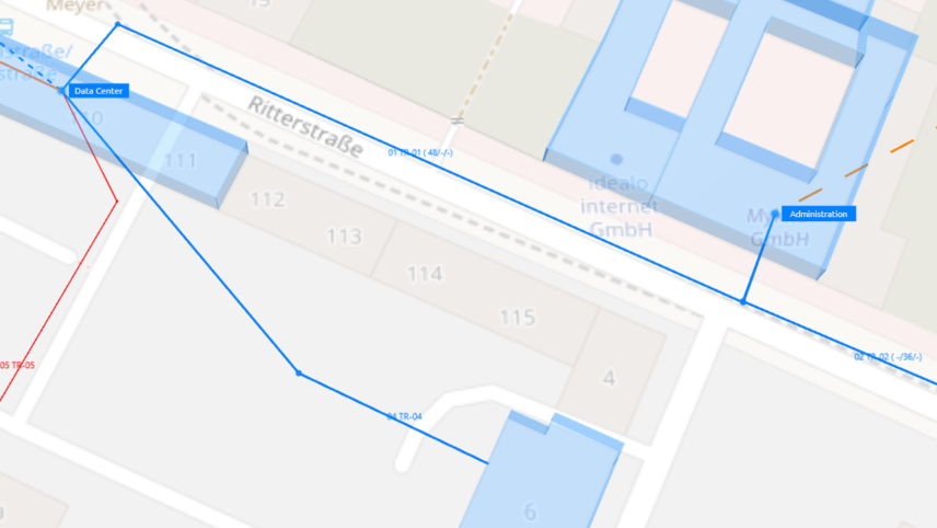
From version 3.2, Pathfinder visualizes locations and properties based on OpenStreetMap. You can create any building straight from the map with just a few clicks. Identifying buildings and visualizations are fully automatic.
Using pre-existing floor plans in the form of vector graphics or .DWG files, Pathfinder easily integrates floor design plans and makes them usable in IT documentation. Using a room boundary limit function, you can create floor plans for individual rooms, without even the requirement of a blueprint . Our documentation tool uses the existing floor plans as blueprints and enables the creation of individual room boundaries. This significantly increases the ease, speed and quality of documentation.
0:00 – content
0:24 – create infrastructure (buildings, floors, rooms)
0:40 – building identification based on OpenStreetMap
1:20 – integrate existing drawings into the IT documentation